This March only: Book an Introductory Flight and receive a bonus ECFI pilot bag - Book now!


Introducing Our New Satellite Base at Springbank Airport
22 February 2024
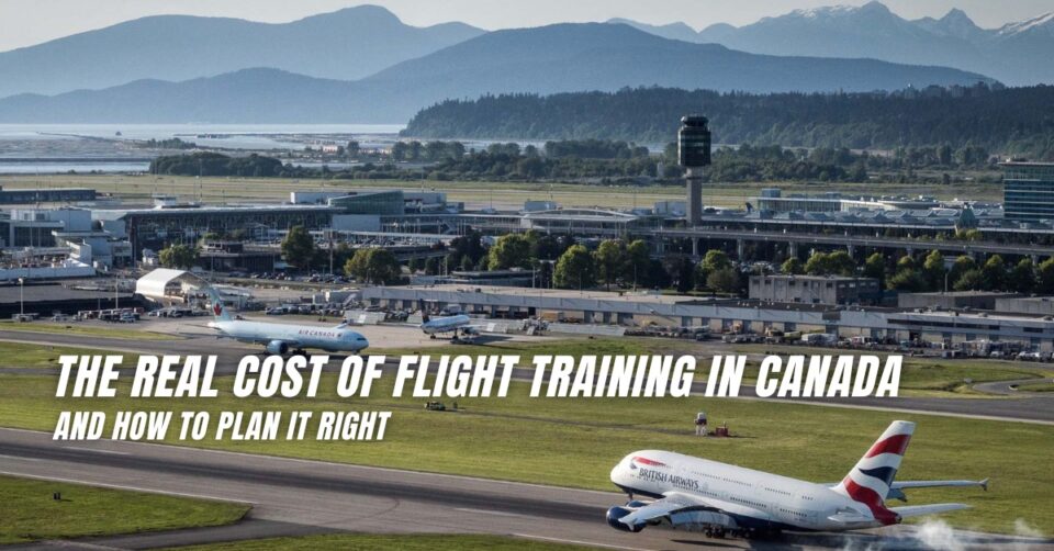
10 Common Mistakes Student Pilots Make and How to Overcome Them
22 October 2024Introducing Our New Satellite Base at Springbank Airport
22 February 202410 Common Mistakes Student Pilots Make and How to Overcome Them
22 October 2024
Have you ever wondered when your flight instructor or other fellow pilot says "We need to fly VFR Routes in that airspace"? Yes, it's not a
myth. Let me break it down for you.
VFR Routes or Visual Flight Rules Routes are designated routes or airspace structures created specifically to transition through complex
airpaces. These routes are often established around busy airspaces like Toronto , Vancouver , Calgary etc. to facilitate the flow of VFR traffic while
providing separation from IFR traffic. VFR Routes provide navigational ease with enhanced safety and predictability of flight path. It also aids ATC
in sequencing the traffic effectively. The routes are depicted on the mapusing diamond shaped lines.
It is highly important for pilots to familiarize themselves with the specific rules and procedures applicable to the VFR route they plan to use.
It is vital to follow the procedures when entering or exiting the VFR routes. Knowledge of VFR waypoints and the altitude restrictions along with the
communications procedure is of utmost importance when navigating through a VFR Route. Let's take a look at some of the VFR routes available
at Springbank.
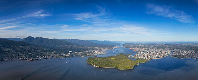
At SpringBank Airport (YBW) , Nav Canada has published departure routes and arrival routes to effectively manage the flow of traffic to and from
the airport. It is also published in the Canadian Flight Supplement(CFS).

The above image depicts the route to follow when flying in and out of SpringBank. Let's take the published VFR routes in CFS and dissect what it means. Before we decide which route to fly to when flying inbound for YBW , we need to know the latest ATIS information. The frequency for ATIS at YBW is 127.9 . Pilots must contact Calgary Terminal at 128.7 and report intentions when flying into YBW.
Departures from YBW to CYA 226/227
● When RWY 17 is in use - South Ghost Route

Pilots are expected to fly the runway heading until 500 ft AGL , then turn right towards Petrocan.
Then fly North west heading to the Jumping pound gas plant and continue until Ghost Lake Village.
● When RWY 08 and 35 is in use - North Ghost Route

Follow the bow river to Cochrane and then to Wildcat gas plant.
● When RWY 26 is in use - South Ghost Route

Climb straight out of RWY 26 to Highway 22 and then northwest to JumpingPound Gas Plant until over Ghost Lake Village.
Arrivals from CYA 226/227 (Practice Area)
● When Rwy 08 is in use - South Ghost Route

Pilots must report at Ghost Lake Village not below 6000 ASL.
Then fly south east to Jumping pound Gas Plant and intercept final for RWY 08 over Highway 22.
● When RWY 17 is in use - North Ghost Route

Pilots must report at WildCat Gas Plant not below 6000 ASL and then fly south east along the Bow River to Cochrane and then continue to join the right base for RWY 17.
● When RWY 26 is in use - North Ghost Route

Pilots must report at WildCat Gas Plant not below 6000 ASL and then fly south east along the bow river to Cochrane and then turn towards the tower to join right downwind for RWY 26.
● When RWY 35 is in use - South Ghost Route

Pilots must report at Ghost villate not below 6000 ASL and then fly towards Jumping pound Gas plant and then turn towards the tower to join left downwind for RWY 35.
Occasionally, depending on the traffic conditions, the tower may however clear you directly to Left base 35.
From YBW to Cremona

● When RWY 17 in use
Climb to 500’AGL and turn right to follow HWY 22 N towards Cochrane and then to Cremona.
● When RWY 35 or 08 in use
Left Turn to Cochrane and follow HWY 22 N to Cremona.
● When RWY 26 in use
Climb RWY Heading and then turn right to follow HWY 22 N to Cremona.
From YBW to Madden via Lochend Lake

● When RWY 08 in use
Climb straight until 500’AGL, then turn left to follow Lochend Lake route to Lochend Lake and then turn NorthEast to Madden.
● When Other Runways in Use
Follow ATC instructions to join the Lochend Lake Route to Lochend Lake and then turn NorthEast to Madden.
From YBW to Priddis Corner
Priddis Corner is a T intersection with an undivided highway that turns into a divided highway

● When RWY 08 in use
Climb straight to 500’AGL and then turn right to Elbow Springs and then to Priddis Corner.
● When RWY 17 in use
Climb straight to 500’AGL and then turn left to Elbow Springs and then to Priddis Corner.
● When Other Runways in use
Follow ATC instructions.
There may be many other routes depicted in the Calgary VTA for transitioning easily through the busy Calgary airspace without impacting conflicts to other IFR traffic. Pilots are encouraged to familiarize themselves with all the procedures and routes they are planning to take.
Happy Flying !!!!
-Credit to Deepak Raj, our instructor at Springbank base.